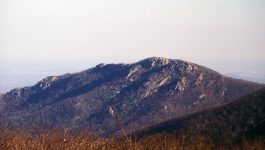
In Virginia the Appalachian Plateau province is not particularly ‘plateau-like’, rather the region is characterized by rugged topography and steep slopes. It is a well-dissected upland, and streams draining the region have a classic dendritic drainage pattern. The featured image of Buchanan County (and the surrounding areas of Kentucky and West Virginia) is a shaded relief map that illustrates the aforementioned landscape features of the Appalachian Plateau. Green colors are elevations ~200 meters above sea-level (~650′), while orange colors are elevations ~700 meters above sea-level (~2,300′).