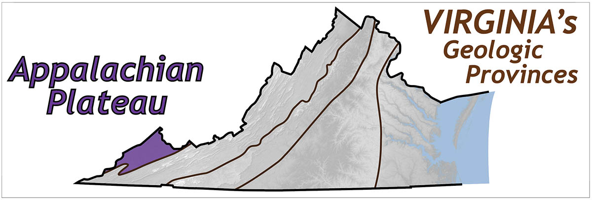
The Appalachian Plateau forms a distinct physiographic and geologic province in southwestern Virginia. Although the Plateau occupies a relatively small area in Virginia, regionally this province extends from Alabama to New York, and occupies significant parts of Kentucky and West Virginia adjacent to Virginia.
Shaded relief map of the Appalachian Plateau in Virginia.
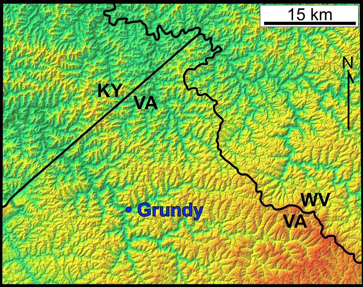
Although some parts of the Appalachian Plateau exhibit a high-elevation, low relief plateau-like morphology, this region in Virginia is thoroughly dissected by streams with a dendritic drainage pattern and rugged topography.
The Appalachian Plateau lies to the northwest of the Valley & Ridge, and is also underlain by a similar sequence of Paleozoic sedimentary rocks. However, rocks on the Plateau are generally flat-lying. Localized, but regional-scale, folds in the Plateau formed in response to shortening on thrust faults that do not reach the Earth’s surface, and are rooted to the east in the Valley & Ridge province.
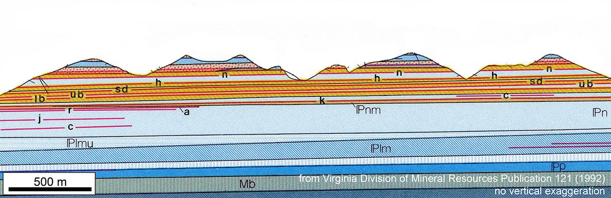
Geologic cross section of the Appalachian Plateau.
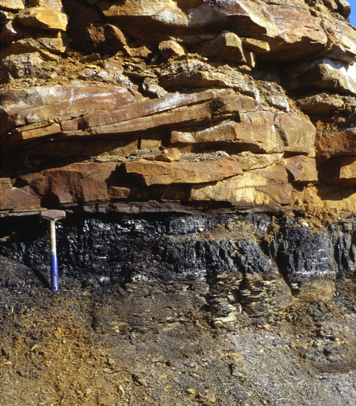
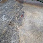
Sandstone (top) and coal (bottom) layers on the Appalachian Plateau.
The Plateau’s upper Paleozoic strata are rich in mineral resources including coal, natural gas, and petroleum. Coal formed from organic-rich sediment that accumulated as swamps during the Pennsylvanian period approximately 300 million years ago. Extraction of these resources has played a significant role in the human history of this region.