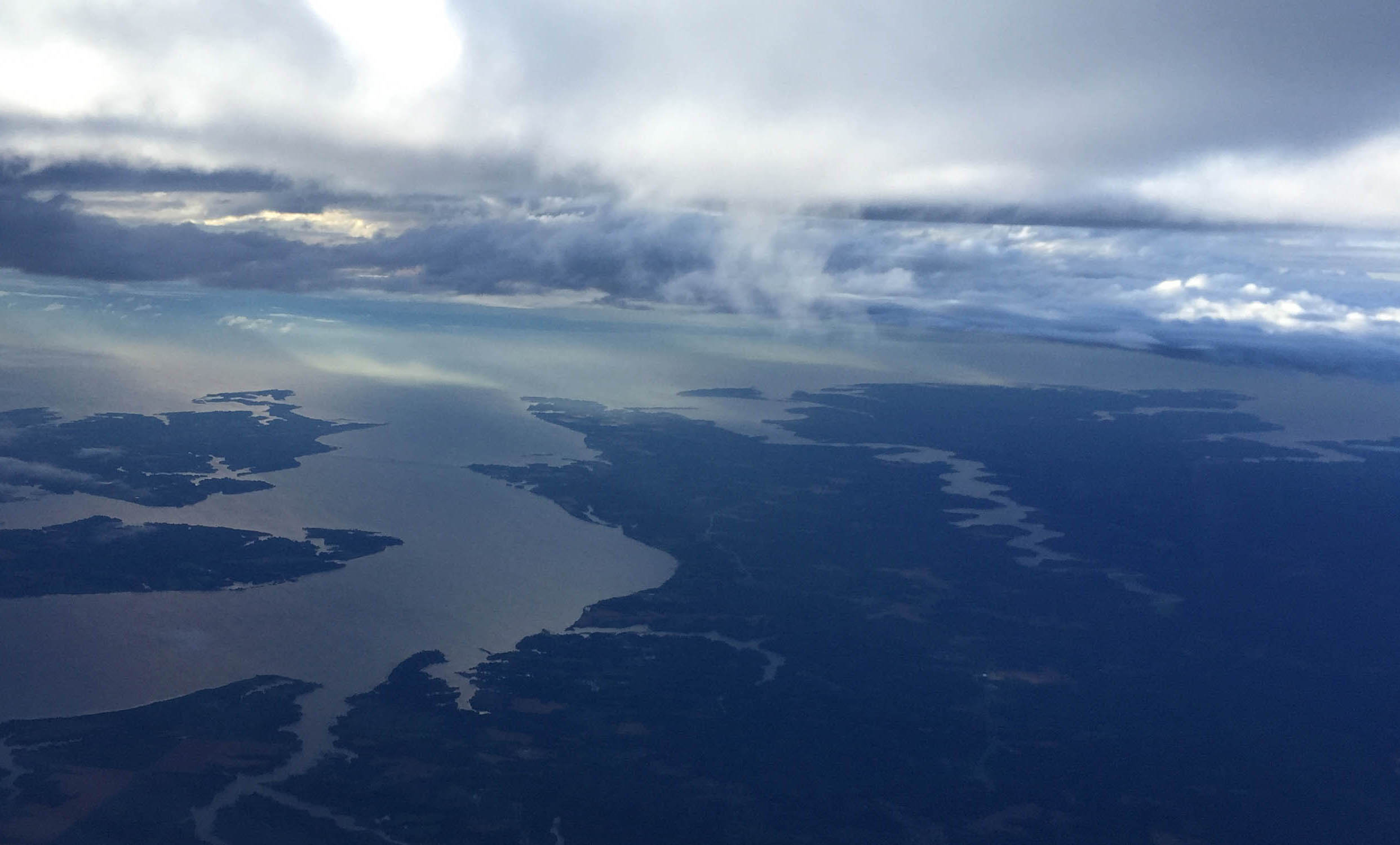
The Rappahannock River forms a broad estuary as it flows to towards the Chesapeake Bay in Virginia’s Coastal Plain province. To the south the Piankatank River is also visible. The Rappahannock and Piankatank rivers are tidal estuaries.
A Resource for Information on the Commonwealth's Geology
The Rappahannock River forms a broad estuary as it flows to towards the Chesapeake Bay in Virginia’s Coastal Plain province. To the south the Piankatank River is also visible. The Rappahannock and Piankatank rivers are tidal estuaries.

This micrograph colorfully illustrates deformed quartz grains in a well-cemented quartz sandstone from the Cambrian Antietam Formation, a prominent geologic unit in the Blue Ridge geologic province. Many of the individual sand grains are elongated (~horizontal orientation), but not recrystallized. Photo taken in cross polarized light with the gypsum plate inserted.

Many of the highest peaks in Shenandoah National Park (including Hawksbill, Stony Man, and Hightop Mountain, just to name a few) are underlain by distinctive bluish-green rocks that were once ancient lava flows (Virginia is for Lavas!), and are part of a geologic unit known as the Catoctin Formation. From the presidential retreat at Camp David to Jefferson’s […]
Copyright © 2026 · Backcountry Child Theme on Genesis Framework · WordPress · Log in